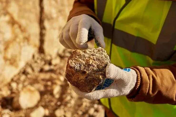
Durham's subsurface is dominated by the Triassic-age Durham Basin, where deeply weathered saprolite and residual clays derived from sedimentary bedrock govern foundation behavior. The water table across the city, particularly near the Eno River floodplain and Jordan Lake watershed, fluctuates seasonally within 3 to 12 feet of the surface, keeping fine-grained soils near saturation for months at a time. These conditions make Atterberg limits testing essential for any project involving cohesive soils, because the liquid limit and plastic limit define how much moisture a clay can absorb before transitioning from a semi-solid to a plastic, and eventually to a liquid state. When a standard penetration test from SPT drilling encounters silts or clays in the upper 20 feet, the split-spoon samples are immediately sealed to preserve natural moisture content for laboratory classification under ASTM D4318. Our team has correlated hundreds of Atterberg results with grain size distributions across Durham County, building a reliable local database that helps engineers distinguish between low-plasticity silts of the Triassic basin and the high-plasticity fat clays found in older alluvial terraces along New Hope Creek.
A plasticity index above 30 in Durham's residual clays typically signals a shrink-swell classification of CH under USCS, requiring foundation design adjustments to mitigate seasonal volume change.
Local considerations
The Atterberg limits test relies on a manual Casagrande cup apparatus where the brass cup rises 10 mm and drops freely onto a hard rubber base at a rate of 1.9 to 2.1 blows per second. In our Durham laboratory, each cup is calibrated weekly against a reference groove-closure standard to ensure the mechanical wear from repetitive testing does not introduce bias into the liquid limit determination. The technician places approximately 100 grams of hydrated soil in the cup, cuts a standardized groove with the ASTM flat tool, and counts blows until the groove closes over a 13 mm length. This procedure is repeated at three to five different moisture contents to construct the flow curve, from which the liquid limit at 25 blows is interpolated. The greatest source of error in local soils stems from the presence of micaceous minerals in weathered Triassic siltstone residuum, which can produce false plasticity readings if the mica flakes align during thread rolling—our protocol includes a mandatory double-blind verification on any sample with a liquid limit exceeding 50 before reporting results to the geotechnical engineer of record.
Relevant standards
ASTM D4318-17 – Standard Test Methods for Liquid Limit, Plastic Limit, and Plasticity Index of Soils, ASTM D2487-17 – Standard Practice for Classification of Soils for Engineering Purposes (Unified Soil Classification System), ASTM D2216-19 – Standard Test Methods for Laboratory Determination of Water (Moisture) Content of Soil and Rock by Mass, IBC 2021 Section 1803 – Geotechnical Investigations (referencing USCS classification requirements)
Quick answers
What is the typical turnaround time for Atterberg limits testing in Durham?
Standard turnaround is 3 to 4 working days from sample receipt at our laboratory. The 16-hour minimum hydration period required for high-plasticity clays (CH) per ASTM D4318 is the primary time constraint, as these soils need adequate moisture equilibration to produce a reliable flow curve. Expedited 24-hour service is available for time-sensitive projects, though we recommend the standard schedule whenever possible to ensure full hydration of the micaceous clays common in Durham's Triassic basin deposits.
How much does Atterberg limits testing cost for a project in Durham?
Atterberg limits testing in Durham typically ranges from US$70 to US$90 per sample when ordered as part of a larger geotechnical testing package. The exact cost depends on the number of samples, whether a multipoint liquid limit or single-point method is specified, and if additional parameters such as natural moisture content or particle size analysis are requested on the same sample. We provide project-specific quotations based on the scope defined in the geotechnical investigation plan.
Which soils in Durham require Atterberg limits testing under IBC 2021?
Under IBC 2021 Section 1803, Atterberg limits testing is required for fine-grained soils where the foundation design depends on the soil's engineering classification. In Durham, this applies to the residual silts and clays of the Triassic basin, alluvial deposits along the Eno River, and any cohesive fill materials proposed for structural backfill. Testing determines the USCS group symbol (CL, CH, MH, ML), which the geotechnical engineer uses to assign allowable bearing pressures, estimate settlement, and evaluate shrink-swell potential per the North Carolina Residential Code requirements for expansive soils.