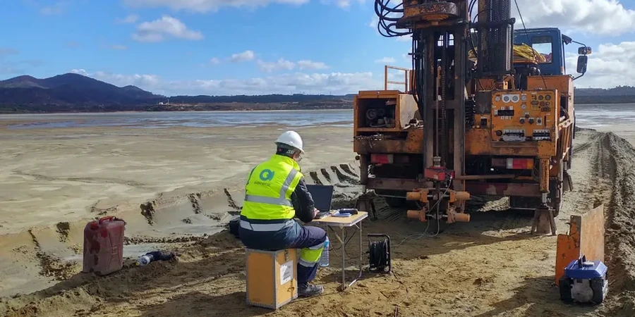
Durham started as a railroad depot in the 1850s, and the city grew outward from the Eno River floodplain onto the weathered residuum of the Carolina Piedmont. That transition from soft alluvium to partially weathered bedrock creates a subsurface patchwork that can amplify ground motion in ways a generic USGS map never captures. For the five-story mixed-use projects going up near Ninth Street or the lab expansions in Research Triangle Park, we run seismic microzonation that maps actual site response — not an assumption. The work ties directly into the MASW surveys we use to measure shear-wave velocity profiles, and we cross-check those results with seismic refraction lines when the top-of-rock geometry gets tricky near the diabase dikes that crisscross the county.
A site class boundary can shift within 50 feet in Durham's Piedmont geology — microzonation catches what a regional map averages out.
Relevant standards
ASCE/SEI 7-22 Minimum Design Loads and Associated Criteria for Buildings and Other Structures, 2024 International Building Code (IBC) — Seismic Provisions, ASTM D4428/D4428M-14 Crosshole Seismic Testing, ASTM D7400/D7400M-19 Downhole Seismic Testing, USGS National Seismic Hazard Model (NSHM) 2023, NCEER/NSF Guidelines for Liquefaction Evaluation (Idriss & Boulanger 2014)
Quick answers
Does Durham really need seismic microzonation? It is not California.
Fair question. The East Coast has lower earthquake rates, but the ground motion attenuation is much slower in the older, colder crust. A moderate event in the Eastern Tennessee Seismic Zone or the Charleston area can produce damaging shaking here. The IBC still requires site classification, and if your borings show soft clay or loose sand, a site-specific analysis often yields a design spectrum that is more conservative — and more realistic — than the default Site Class D assumption.
What does a seismic microzonation study cost for a typical project in Durham?
For a mid-rise commercial building or a small campus project, the cost typically ranges from US$4,780 to US$17,160 depending on the number of MASW lines, boreholes for downhole testing, and whether we run full one-dimensional site response modeling. A simple site class determination with MASW falls at the lower end; a detailed response analysis with hazard deaggregation and multiple soil profiles reaches the upper range.
How long does the field work and reporting take?
Field work — including MASW surveys and any calibration borings — usually takes three to five days on site. The lab processes the geophysical data and runs the site response models over the following two to three weeks. We deliver a draft report with site class maps and design spectra, and we coordinate with your structural engineer during review to make sure the parameters slot directly into their analysis model.