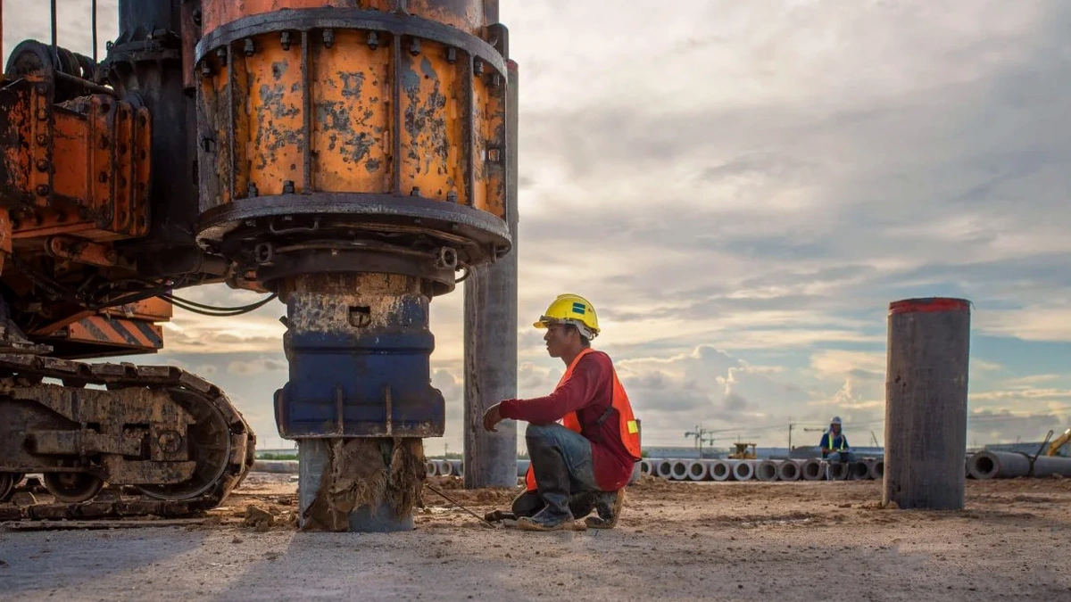
We ran a MASW line behind a planned medical office near Duke Regional last spring, right where the contact between weathered diabase and the softer Triassic siltstone gets tricky. The boring logs from the SPT drilling showed refusal at 15 feet in one hole and 45 in the next, and the structural engineer needed a reliable VS30 to avoid over-designing the foundation. In Durham County, you cannot just default to Site Class C or D based on a quick look at the map. The IBC and ASCE 7 require a measured shear wave velocity unless you want to eat the penalty of the default Site Class D, which is exactly what we help local teams avoid. Our crew laid a 92-meter spread, used a 10-kg sledge on an aluminum plate, and stacked five shots per gather to clean up the cultural noise from the nearby traffic on Erwin Road. The inversion gave us a clear VS profile down to 30 meters, and the site came back as a solid C boundary, right where the geotechnical report needed it to be for the shallow footing design that the owner preferred. That is the kind of real-world Durham condition where a surface wave test pays for itself in the first round of value engineering.
In Durham's Triassic Basin, a measured VS30 can shift a building from Site Class D to C and unlock a lighter foundation design that the owner's budget will thank you for.
Methodology and scope
The Triassic Basin geology that runs under much of Durham creates a layered velocity structure that is rarely uniform. Weathered zones, saprolite horizons, and partially weathered rock interfaces produce dispersion curves that need careful fundamental-mode picking. In our lab, we process every MASW line with both frequency-wavenumber and spatial autocorrelation methods, cross-checking the picks before running the inversion. What we see across Durham neighborhoods, from the clay-rich residuum near Eno River to the more competent bedrock in the Research Triangle Park area, is that VS30 can shift a full site class within the footprint of a single building. The key parameters we deliver include the time-averaged VS30, the VS profile at 1-meter intervals, and the Poisson ratio estimates that the structural team needs for soil-structure interaction models. All acquisition follows the ASTM D4428 guidelines for crosshole and downhole velocity testing, adapted for active-source surface wave methods, and our processing workflow is calibrated against NEHRP site classification tables. The result is a site class determination you can take to the plan reviewer with confidence, backed by raw gathers and inversion diagnostics that show exactly how the velocity model was derived.
Local considerations
Compare the soil profile under downtown Durham near the old tobacco warehouses with the conditions out along the 751 corridor toward Jordan Lake, and you will see two completely different seismic site responses. The downtown fill and alluvial terrace deposits can mask a low-velocity layer that drops VS30 into the high-180s, meaning Site Class D or even E if soft clay lenses are present. Out toward the lake, the weathered rock is often shallower and the VS30 pushes into the 400-500 m/s range, comfortably Site Class C. The risk comes when a project team assumes one class based on a geologic map and does not verify with a surface wave test. We have seen plan review comments come back requiring a site-specific ground motion analysis because the default Site Class D was used when a measured VS30 would have shown Site Class C. That delay alone can cost weeks on a Durham permitting schedule. The IBC explicitly allows a site class upgrade with measured shear wave velocity data, and in a city with as much geotechnical variability as Durham, skipping the MASW survey is a gamble that rarely pays off in the long run. Low-velocity zones from buried stream channels, common across the Ellerbe Creek watershed, can also create a vertical irregularity that only a continuous VS profile will catch.
Quick answers
How long does a MASW survey take on a typical Durham site?
For a standard VS30 determination with a single spread, field acquisition usually takes two to three hours on site, depending on access and how much surface preparation the line needs. Processing and reporting in the lab add another two to three business days. If the site has a lot of buried utilities or hard surfaces that require saw-cutting for geophone coupling, we budget a little extra time. We always coordinate with the project manager ahead of the field day to flag any obstacles that could slow the line layout.
What does a MASW and VS30 survey cost in the Durham area?
A single-line MASW survey for VS30 site classification around Durham generally runs between US$1,610 and US$3,400, depending on the spread length needed to reach 30 meters depth, site access conditions, and whether we need to clear vegetation or cut pavement for geophone placement. If the project requires a 2D profile with multiple lines or a rolling spread, the cost scales with the total linear footage acquired. We send a written proposal with a fixed scope and price after reviewing the site plan and the boring logs, so there are no surprises once the crew mobilizes.
Can MASW replace borings for site classification?
MASW provides the shear wave velocity profile needed for IBC and ASCE 7 site classification, but it does not replace the need for borings that give you soil type, blow counts, and samples for lab testing. The two methods complement each other. In Durham, we typically see the geotechnical engineer run SPT borings for stratigraphy and strength, and then bring in our MASW line to nail down the VS30 and site class. The boring log confirms the soil profile that the velocity data is traveling through, which strengthens the interpretation for the plan reviewer.
How do you handle background noise during MASW testing in an urban area like downtown Durham?
Urban noise from traffic, construction, and building mechanical systems is a real factor in parts of Durham, especially near the Duke University and downtown corridors. We manage it by running our surveys during lower-traffic windows when possible, stacking multiple hammer blows per shot point to improve the signal-to-noise ratio, and using geophone arrays with good ground coupling. In the processing stage, we can filter out stationary noise sources and identify the fundamental-mode dispersion curve even when the raw records look messy. We also bring an extra geophone spread so we can switch to a shorter receiver spacing if high-frequency noise is overwhelming the deeper signal.