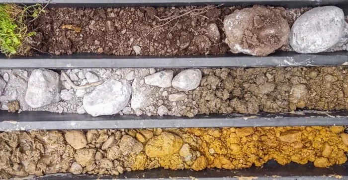
Durham sits squarely on the contact between the Triassic sedimentary basin and the older Piedmont crystalline rocks. That means two sites half a mile apart can show completely different subsurface profiles—weathered siltstone and clay-rich saprolite on one side, and residual micaceous soils from weathered phyllite on the other. An exploratory test pit cuts through the guesswork. You expose the stratigraphy directly, log the soil horizons in place, and take bulk or undisturbed samples right at the depth that matters. The IBC classifies much of Durham County as Seismic Design Category B, so shallow foundation investigations often hinge on bearing capacity and shrink-swell behavior rather than dynamic response. When a boring alone cannot resolve a contact between fill and natural ground, we pair the pit with an SPT drilling program to calibrate refusal depths and standard penetration resistance across the site.
A well-logged test pit in Durham’s residual soils tells you more about weathering grade and joint spacing than a dozen SPT blows ever will.